Ride up the Ridge: Port Jervis to High Point New Jersey
Geographic Context: Port Jervis and the Tri-State Region
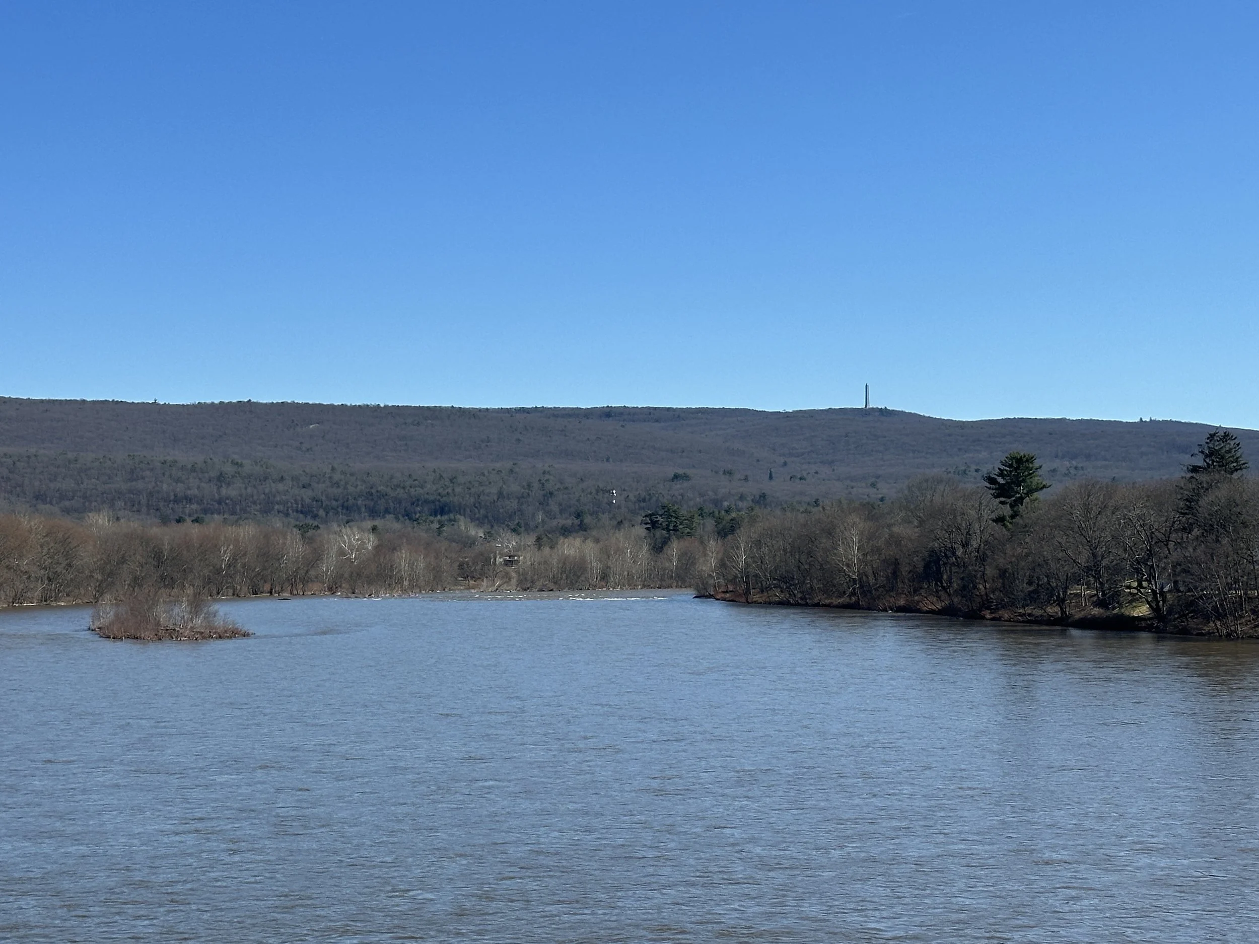
Port Jervis is located at the confluence of the Delaware and Neversink Rivers in Orange County, New York. Situated at the juncture of New York, New Jersey, and Pennsylvania, the city serves as a regional hub. It is positioned at the base of the Shawangunk Mountains to the east, which becomes Kittatinny Mountain across the New Jersey border.
To the north, the city is bordered by the Port Jervis Watershed Park, a high-elevation area containing several reservoirs and a trail network. Further north-northwest are the Catskill Mountains, while the Poconos are located across the Delaware River to the west. This convergence of landforms supports a significant regional bike culture focused on road and trail riding.
High Point State Park
High Point State Park contains the highest elevation in New Jersey at 1,803 feet. The summit is marked by the High Point Monument, a 220-foot obelisk. Highpointing—the practice of visiting the highest topographical point in a state—is a primary activity here. The geography is defined by the Kittatinny Ridge, providing views of the Delaware River valley to the west and the Wallkill River valley to the east.
The Route from Port Jervis Station
The Port Jervis Train Station is a landmark for the start of the climb. Located in the downtown district, it is the terminus of the Metro-North Port Jervis Line. From here, the route begins at approximately 440 feet above sea level and gains over 1,300 feet of vertical elevation to reach the High Point Monument.
The Port Jervis Train Station is a landmark for the start of the climb. Located in the downtown district, it is the terminus of the Metro-North Port Jervis Line. From here, the route begins at approximately 440 feet above sea level and gains over 1,300 feet of vertical elevation to reach the High Point Monument.